
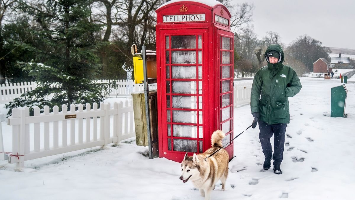

New weather forecasts indicate specific areas and timing for significant snowfall of up to 70cm in the UK. Following a relatively mild period, colder conditions are expected to return in January, with snowfall projections reaching 70cm in some regions.
According to WXCharts maps for January 31, heavy snowfall is anticipated in the Scottish Highlands, extending southward to the coast. Central Scotland is likely to experience heavy snow with up to 71cm expected by 6pm. Northern England may see up to 24cm of snow in areas like the Pennines and the Cumbria-Northumberland border, with further snowfall predicted in the subsequent week, moving southward.
Temperatures are forecasted to plummet to -14C in central Scotland on January 30, while staying just above freezing in other parts of the country. The Met Office has warned of a potential drop in temperatures, especially in the North East, as different weather systems clash between western Atlantic influences and eastern high pressure, leading to uncertain but potentially colder conditions and increased chances of snow across the UK.
Looking ahead to February, a setup of low pressure in the west or southwest and high pressure in the northeast could bring cold conditions and wintry hazards at times, as outlined in the Met Office’s long-range forecast from February 1 to February 15.