
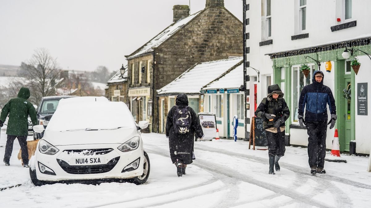

Britain is preparing for a challenging week of weather ahead, as snow is expected to hit two significant regions of the UK while temperatures drop below freezing, according to the Met Office. Meteorologists predict the UK will face a weather “battleground” as Atlantic storms from the west collide with persistent high pressure in the north and northeast.
The Met Office’s long-range forecast from January 24 to February 2 suggests that this clash will result in frequent bouts of rain and showers, particularly heavy and continuous in the south and west. Conversely, those in the northern and northwestern areas may experience drier and calmer intervals.
Although milder conditions could briefly reach southern and western parts, colder weather is anticipated to prevail as the period progresses. This shift may increase the likelihood of snow, especially in Scotland and northern England, particularly in elevated areas. Consequently, icy conditions may lead to travel disruptions and challenging driving conditions.
Meanwhile, Scotland is currently enduring its most significant snowfall in years, with substantial snow cover in northern regions and the additional threat of flooding due to melting ice. Temperatures are forecasted to plummet as low as -1C this week, impacting areas like the eastern shore of Loch Long in Finnart and the Cairngorms.
The Met Office’s extended forecast highlights the ongoing battle between Atlantic weather systems and persistent high pressure, indicating further rain or showers, potentially heavy, especially in the south and west. Despite occasional mild conditions in the south and west, a gradual cooling trend is expected, heightening the risk of snowfall, particularly on Scottish and northern English hills.