
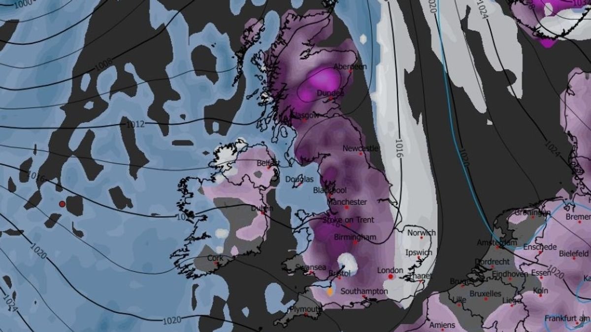

Britons are bracing for the impact of two significant snowstorms that could bring up to 19 inches of snow, affecting 90% of the UK. Weather models indicate the first storm will move across the country on January 29, starting with Northern Ireland, Wales, the west coast of Scotland, and the southwest of England.
The snowfall is expected to spread eastward, reaching northern England, the Midlands, and the southeast by 9 am. Cities like London, Southampton, Birmingham, Manchester, and Liverpool might experience snow, with additional flurries in parts of Northern Ireland and Scotland.
A second blizzard is forecasted for January 30, with intense snowfall expected in the southwest, Wales, the northwest, and parts of Scotland around 9 pm. This storm is likely to progress eastward overnight into January 31, potentially bringing snow to Yorkshire, the Midlands, and southern England by 6 am.
Snow coverage maps suggest that around 90% of the UK could be blanketed in snow by January 31, with only some areas in the southwest, Wales, and Northern Ireland potentially escaping the snowfall. Snow depth projections indicate up to 48cm of snow in the Scottish Highlands, while northern and central England could see 12cm, North Wales 15cm, and parts of southern England 7cm.
The Met Office also anticipates further snowfall at the end of January and the beginning of February. The weather agency’s forecast for January 24 to February 2 suggests that the UK will likely experience periods of rain, heavy showers, and potential snow, especially in Scotland and northern England.
Looking ahead to February, the Met Office warns of wintry conditions, with a continued risk of snow and wet weather impacting various parts of the UK. Mild conditions in the south and west may contrast with colder temperatures in the north and northeast, bringing wintry hazards, particularly on elevated terrains.
Readers can select the Daily Mirror as a ‘Preferred Source’ on Google News for convenient access to valued news content.